Kungsbrohuset
Kungsbrohuset is an office building between Kungsbron and Klarabergsviadukten in the development area of Västra city in central Stockholm. The building was opened on 6 May 2010.Photo: Ankara, CC BY-SA 3.0.
- Type: Commercial building
- Description: building in Stockholm Municipality, Stockholm County, Sweden
- Roof shape: flat
Notable Places in the Area
Stockholm Central Station
Railway station

Photo: Wikimedia, CC BY-SA 3.0.
Stockholm Central Station is a railway station in Stockholm, Sweden. Stockholm Central Station is situated 360 metres southeast of Kungsbrohuset.
Embassy of Indonesia, Stockholm
Government office

Photo: Pymouss, CC BY-SA 4.0.
The Embassy of Indonesia, Stockholm is the diplomatic mission of the Republic of Indonesia to the Kingdom of Sweden. Embassy of Indonesia, Stockholm is situated 200 metres west of Kungsbrohuset.
Oscarsteatern
Theater building
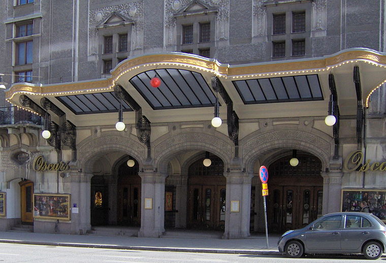
Photo: Kalle1, Public domain.
Oscarsteatern, also known simply as Oscars, is one of Stockholm's private theatres and is the best-known musical theatre in Sweden. Oscarsteatern is situated 240 metres northeast of Kungsbrohuset.
Localities in the Area
Norrmalm
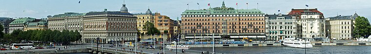
Photo: Wikimedia, CC BY-SA 3.0.
Norrmalm, also known as City, is the central borough of Stockholm, bordering to Östermalm to the east at Birger Jarlsgatan, the Old Town to the south, Kungsholmen to the south-west, and Vasastan north-west of Tegnérgatan.
Klara
Neighborhood
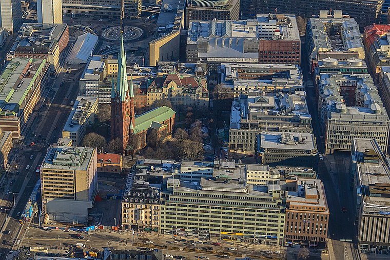
Photo: ArildV, CC BY-SA 3.0.
59°19′55″N 18°03′04″E / 59.33181°N 18.05111°E Klara Church tower with modern surroundingsOld Klara, with the former Telephone TowerKlara is a part of lower Norrmalm in the central part of Stockholm.
Kungsholmen

Photo: Wikimedia, CC BY-SA 3.0.
Kungsholmen is an urban island which makes up the western part of Stockholm's inner city, with the Stockholm City Hall, Stockholms stadshus, as a dominant landmark.
Kungsbrohuset
- Categories: building and office
- Location: Stockholm, Stockholms domkyrkoförs., Stockholm Municipality, Stockholm County, Svealand, Sweden, Nordic countries, Europe
- View on OpenStreetMap
Latitude
59.33206° or 59° 19' 55" northLongitude
18.05287° or 18° 3' 10" eastLevels
9Open Location Code
9FFW83J3+R4OpenStreetMap ID
way 35004834OpenStreetMap Feature
building=commercialOpenStreetMap Attribute
roof-shape=flatWikidata ID
Q3334703Kungsbrohuset Satellite Map
© OpenStreetMap, Mapbox and Maxar
Also Known As
- Swedish: Kungsbrohuset
Landmarks in the Area
- Stockholm CityterminalenBus station, 120 metres east
- Cityterminalen150 metres east
- Stockholm CentralRailway station, 160 metres east
- KungsbroplanPark, 180 metres west
- Casino Cosmopol, StockholmCasino, 210 metres northeast
Places in the Area
- KungsbronHotel
- Agilokliniken Stockholm CityPhysiotherapist
- BlekholmenCity block
- BlekholmsterrassenBus stop
- KungsbiljardenRestaurant
Popular Destinations in Stockholm County
Discover Stockholm, Södermalm, Södertälje and Norrmalm.
Escape to a Random Place
Discover other destinations in the world.
About Mapcarta. Thanks to Mapbox for providing amazing maps. Data © OpenStreetMap contributors and available under the Open Database License. Text is available under the CC BY-SA 4.0 license, excluding photos, directions and the map. Description text is based on the Wikipdia page Kungsbrohuset. Photo: Ankara, CC BY-SA 3.0.