I had done Lata Naning before. The mid way point on a 32km round trip to the peak of Gunung Rajah in Bentong. Lata Naning was our rest stop rather than our destination and if we were to make the mountain’s peak by the turnaround time and exit the forest before dusk, we couldn’t linger. So we begrudgingly left Lata Naning’s stunning scenery behind.
It took 2 years before the opportunity to return presented itself. Alex of KL Hiking was organising a trip there on Friday, the start of the long May Day weekend.
After several convoy pitstops – at Genting Sempah, then the Bentong toll – Khairul and I arrived at an empty Chamang Waterfall carpark. Holiday makers had yet to descend upon the roaring falls. It was just us hikers … for now.
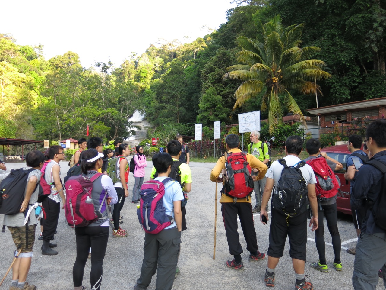
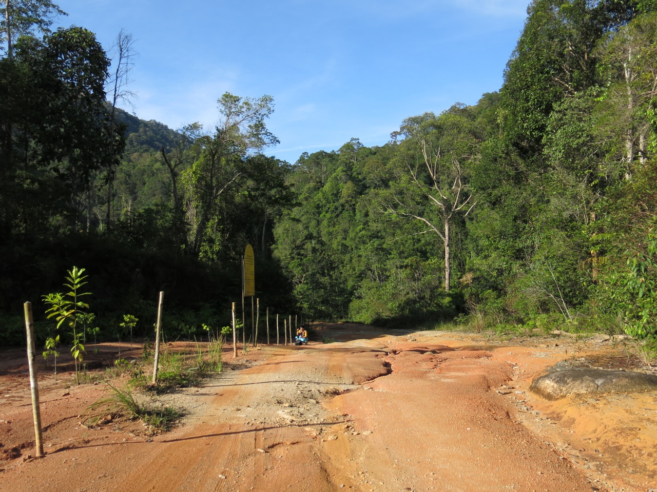
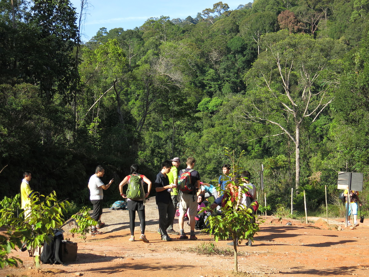
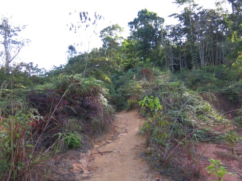
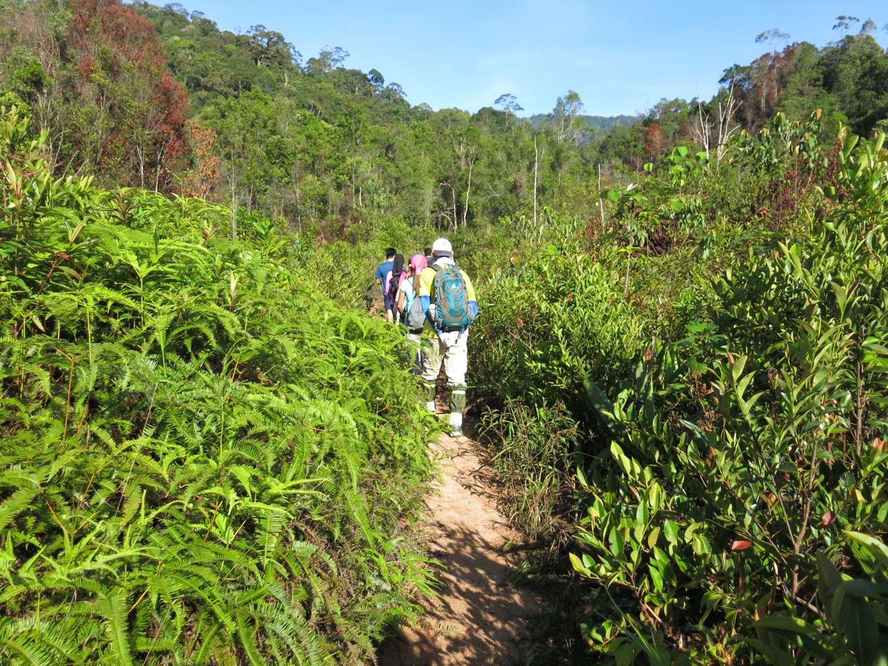
The hike to Lata Naning and Gunung Rajah starts with a short but steep shortcut up to an old logging road by way of the hill behind the showers. With approximately 50 of us, a human traffic jam was inevitable, but the stops and starts provided an opportunity to catch my breath.
At the top I marked the point on my GPS. I didn’t want to miss it on the return trip, as it would add another 2km to our descent.
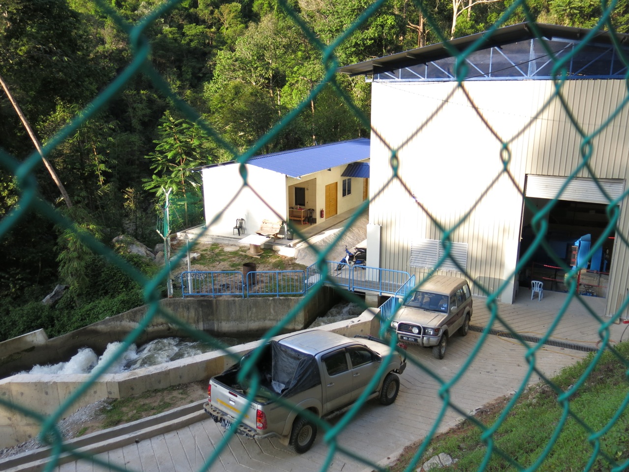
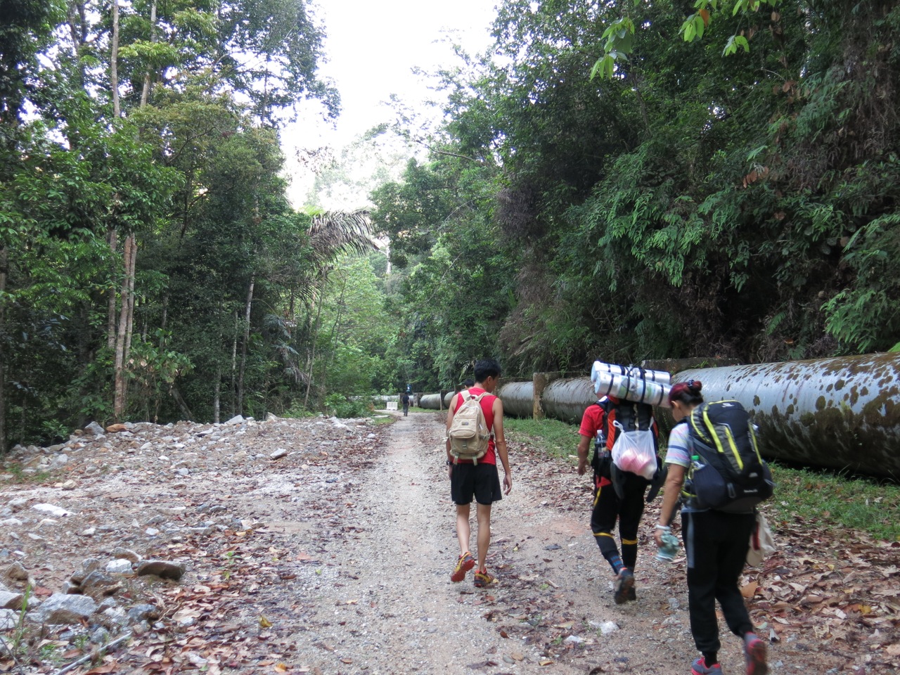
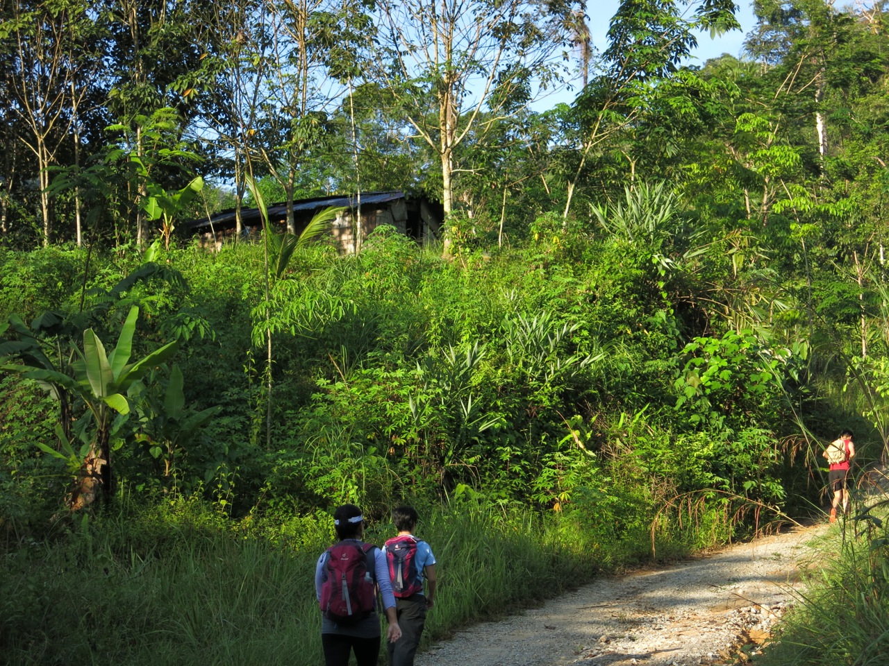
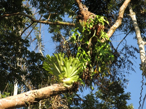
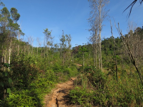
For about 4km, we pounded the red earth road, passing the hydro-electric station at the top of Chamang waterfall (it diverts a small portion of the river through it before it’s released into the gushing waters below) and a small orang asli settlement. It’s long, but the journey is easy with plenty of of lush green forest to keep our attentions occupied.
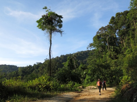
After an hour, we reached a barren area and paused for a breather and waited for the others in the group to catch up.
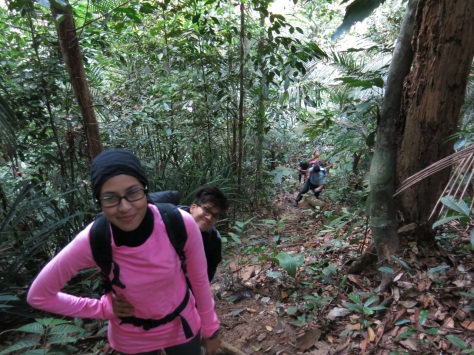
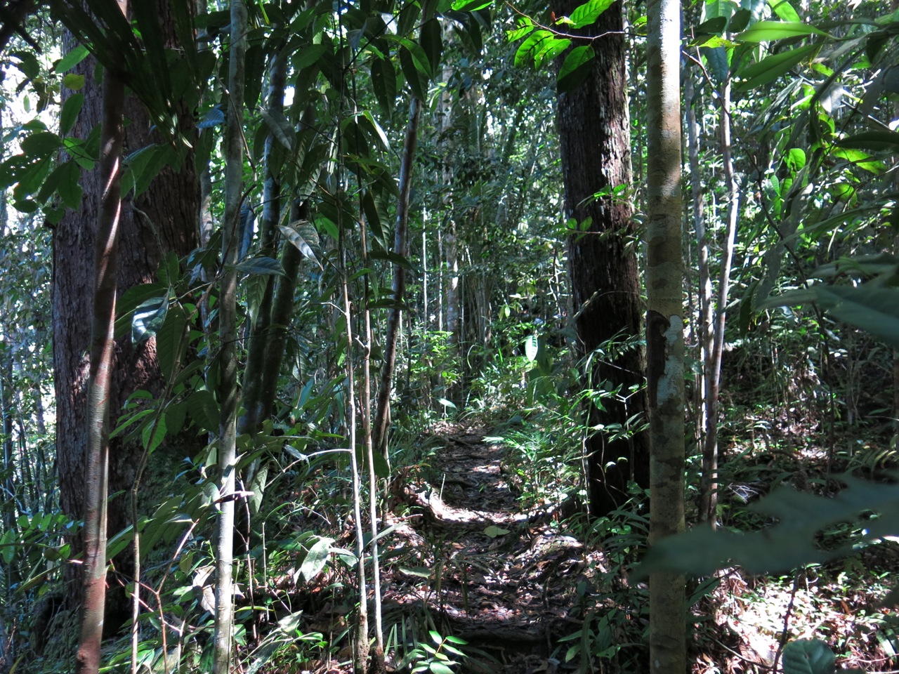
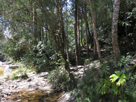
From here the trail took us into the forest, and under the cover of the canopy, where we were instantly proffered relief from the heat.
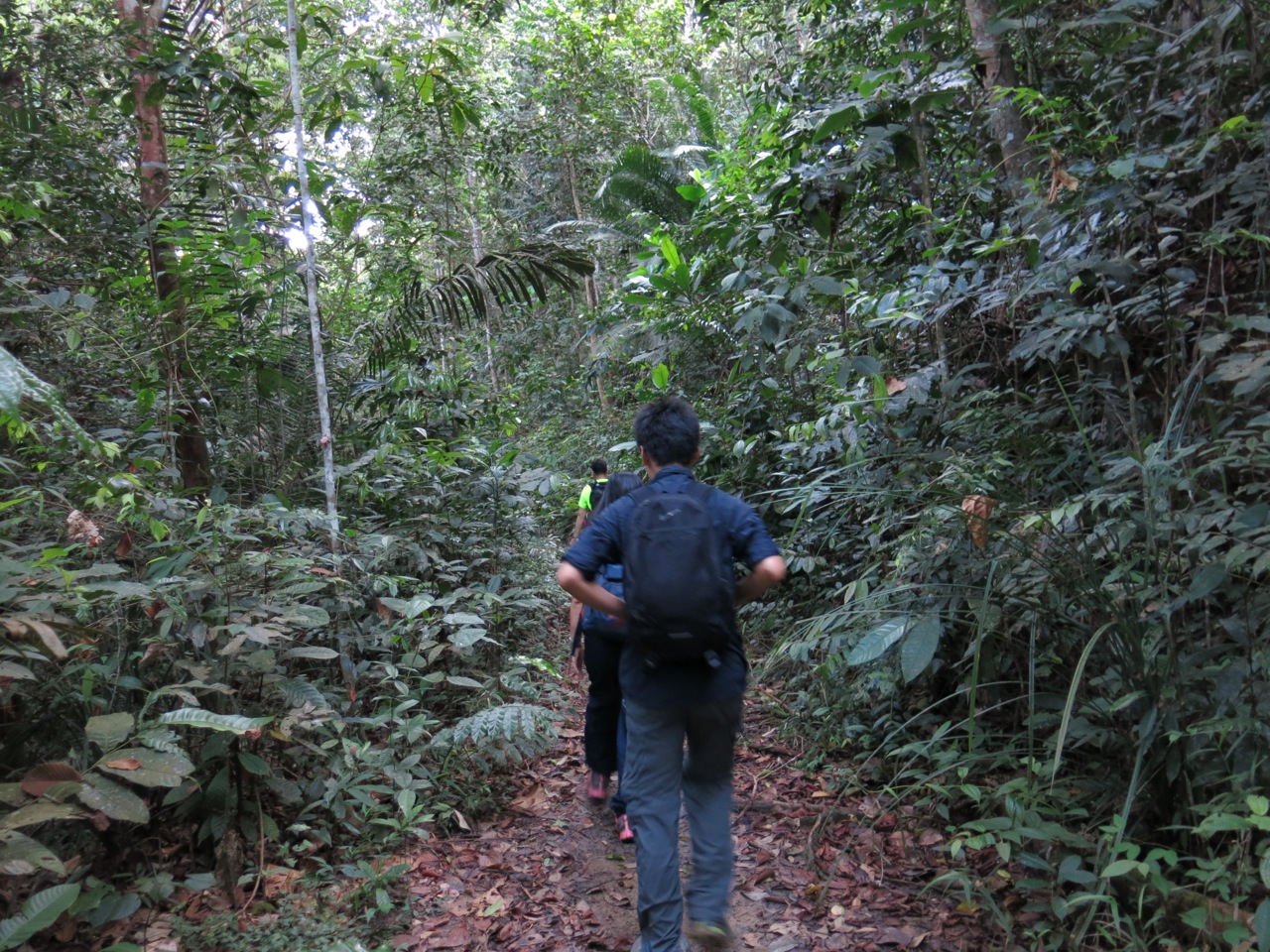
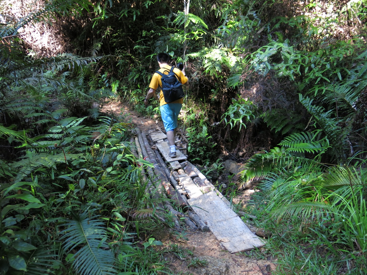
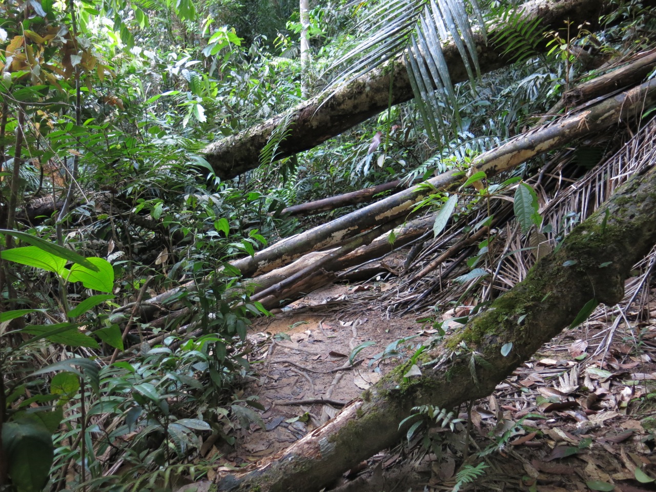
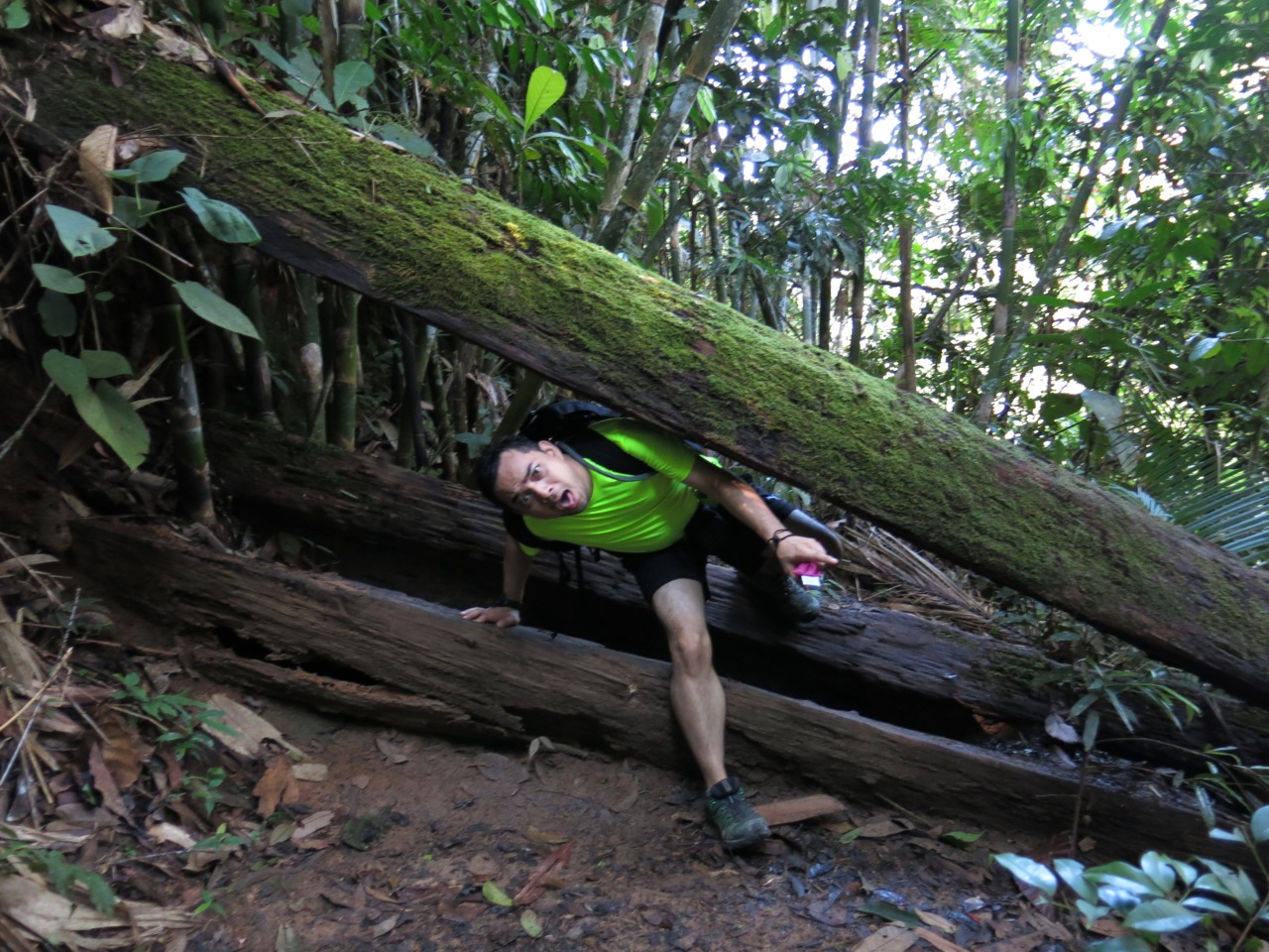
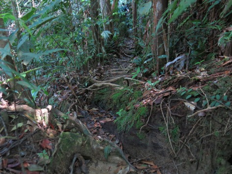
Flat and wide enough for 2, this portion of the trail is a pleasant walk, with small streams to cross on makeshift wooden bridges, and the occasional fallen branches or logs to scramble under or over adding to the adventure.
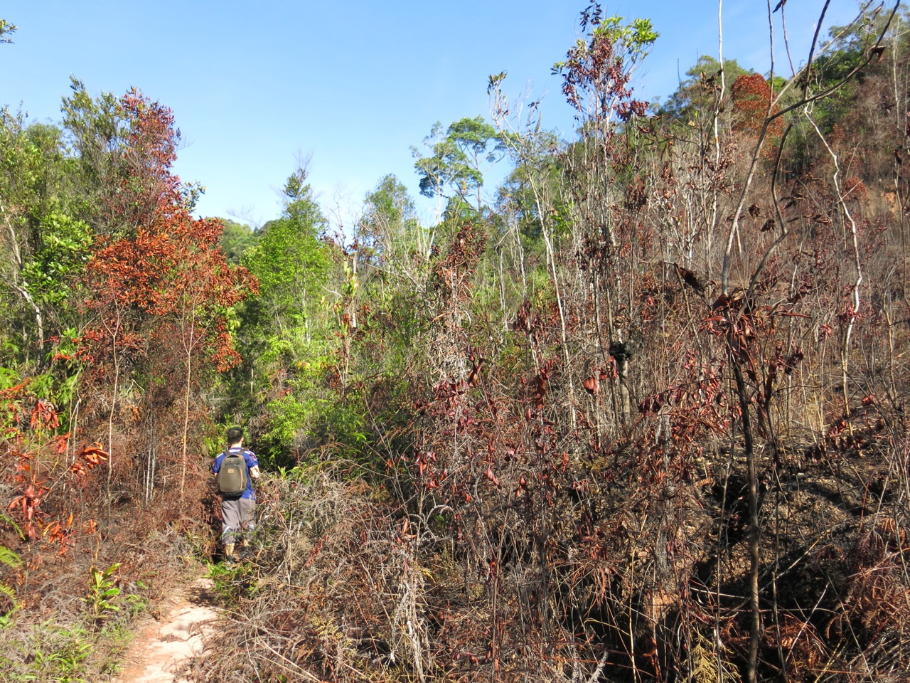
The forest cover is only briefly interrupted by a clearing, the charred soil and dried out foliage suggesting an old forest fire, but there were signs of life and recovery.
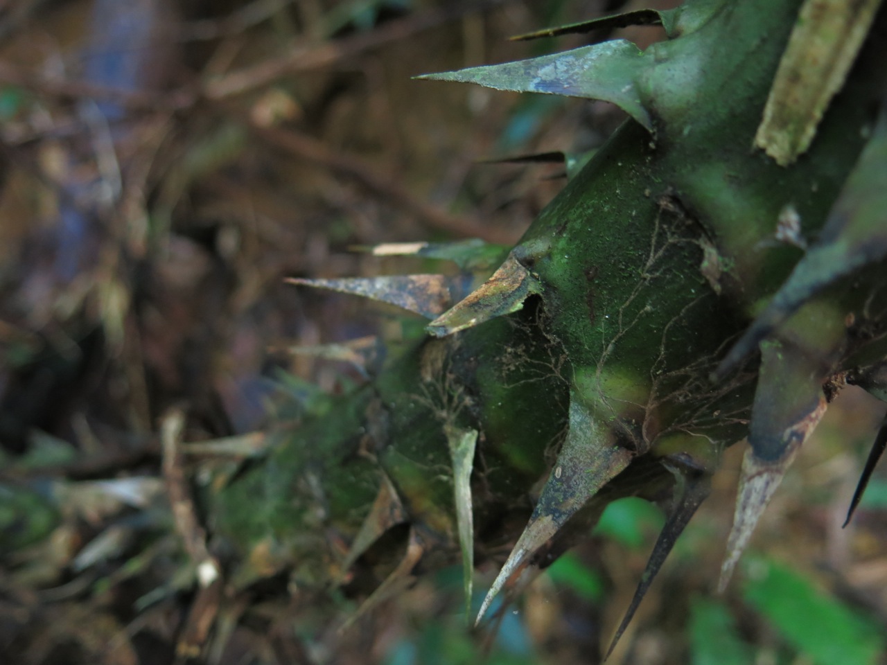
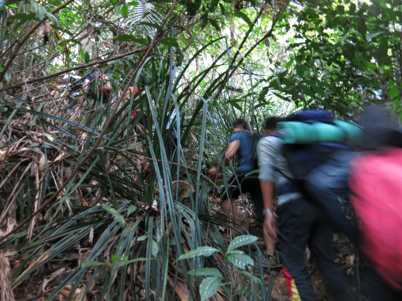
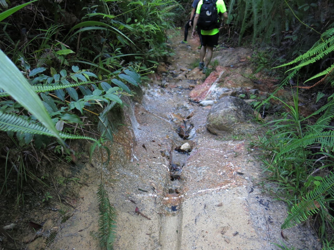
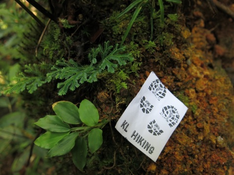
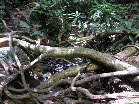
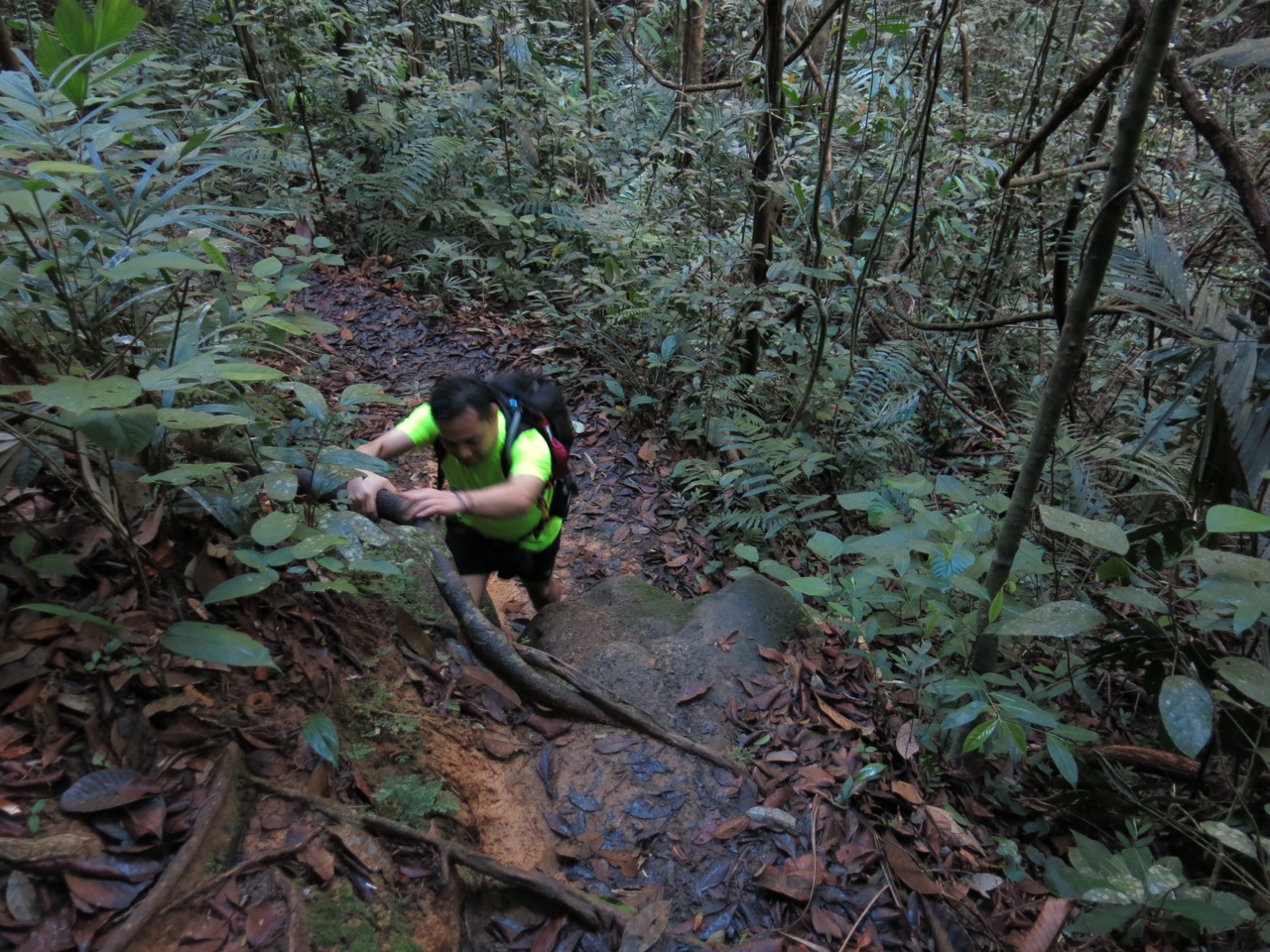
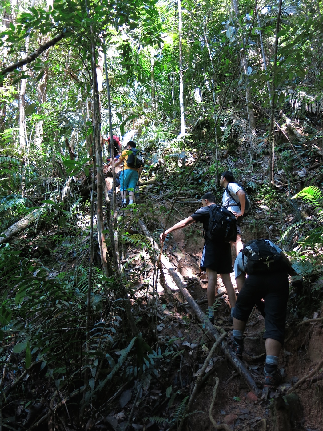
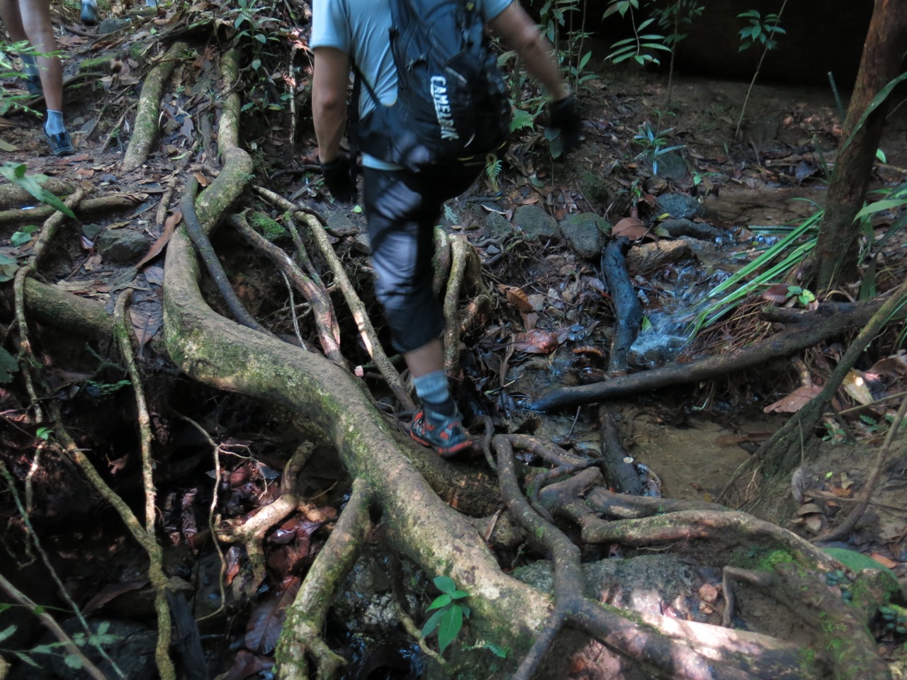
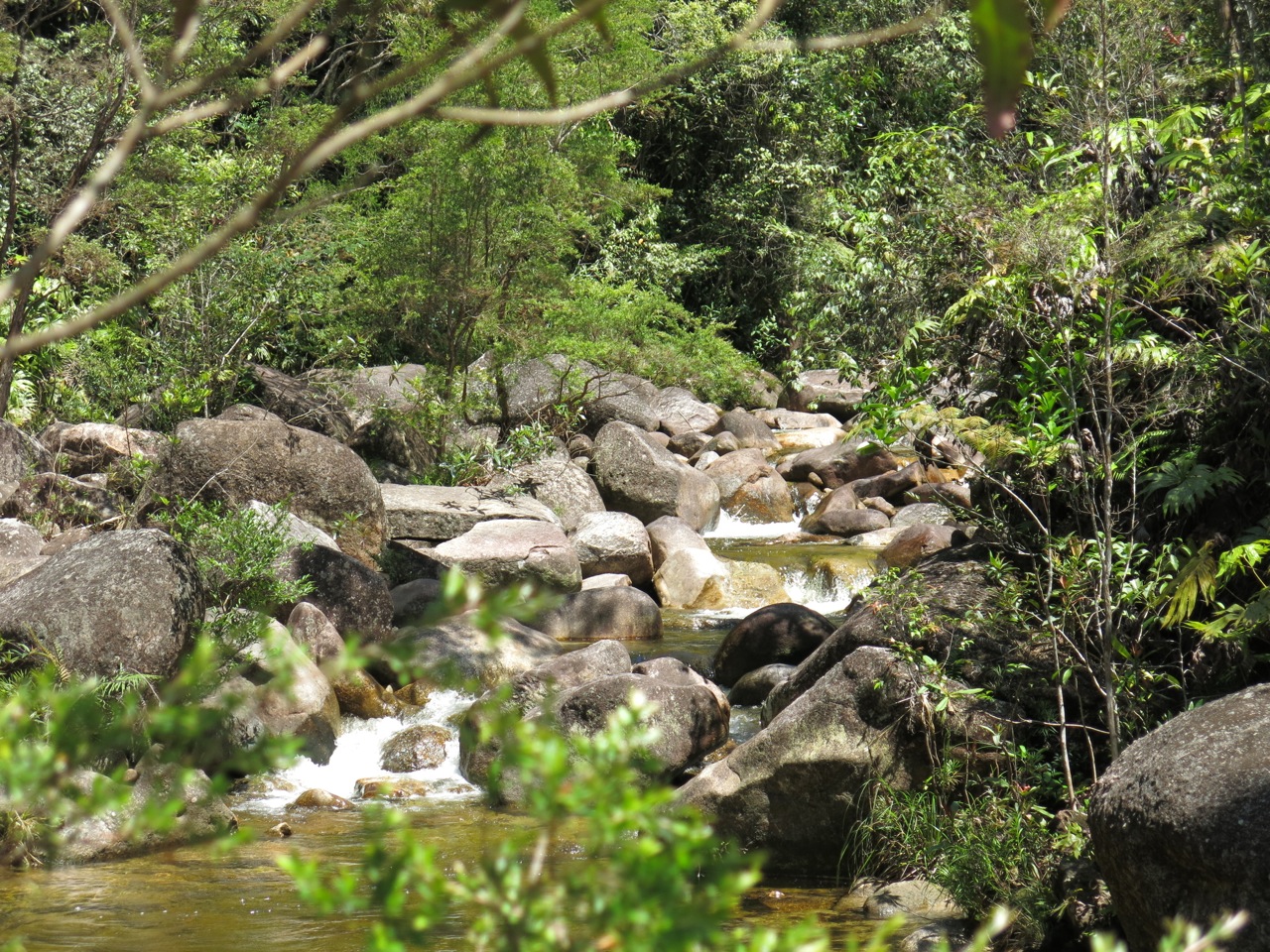
As we journeyed further, the going, as they say in hiker/trekker speak, started to get “technical”. Clusters of intertwined tree roots and slippery rocks and boulders made us careful with our steps. And while the trail is clearly established, it does branch off in places requiring us to keep an eye out for KL Hiking’s paper trail.
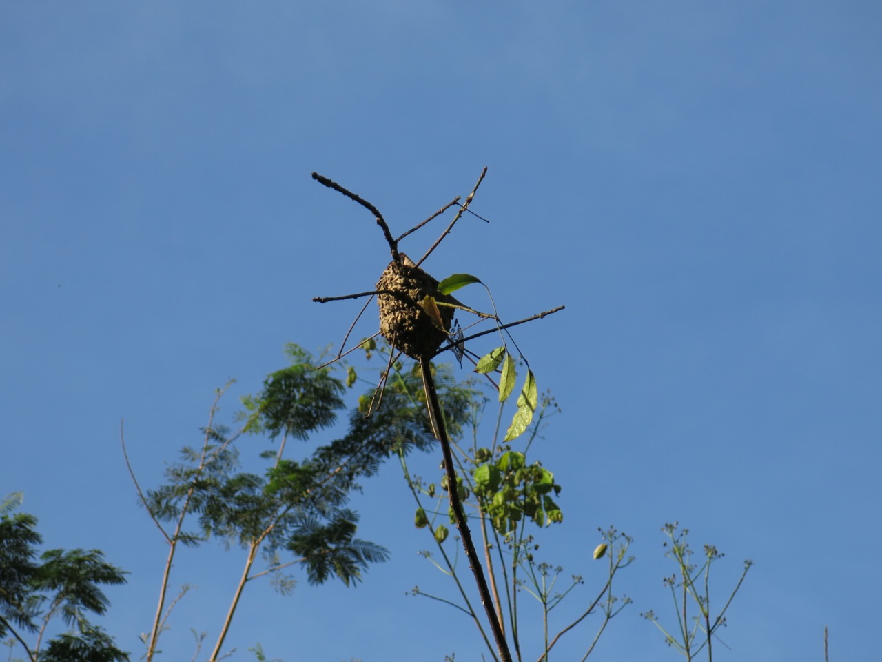
As we walked, the sounds of the river rumbled louder or fainter as it rushed closer or further away from us, punctuated by the howling from gibbons.
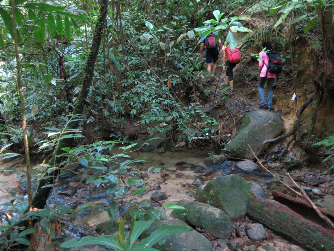
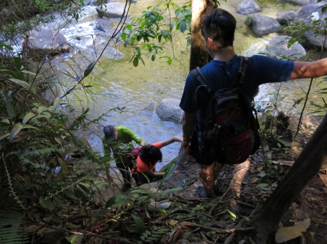
Around the 9th kilometre mark we arrived at the only major river crossing on the route. Sungai Y is where two streams meet and is known to surge when it rains upstream, so caution is needed. But for now the weather was clear, so there was no need for a rope.
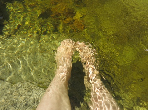
I had forgotten to pack a wet bag so I transferred my phone and camera to the top of my bag. Others took off their shoes and socks but Khairul and I wade straight in. The water is refreshingly cool and barely comes up to our knees.
After a quick break we pushed on. Lata Naning is not far from the crossing, approximately 1 1/2km away but there’s a slight incline to contend and the path narrows to a single lane.
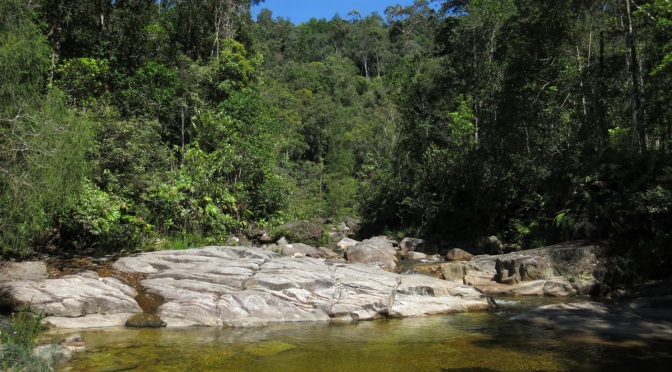
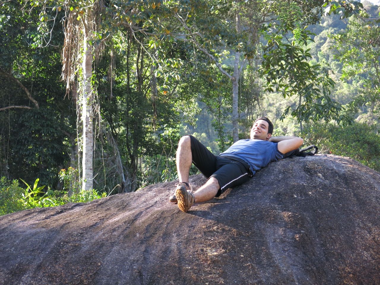
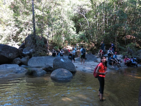
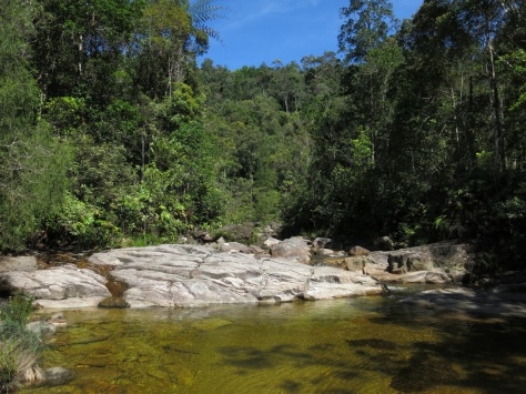
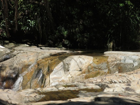
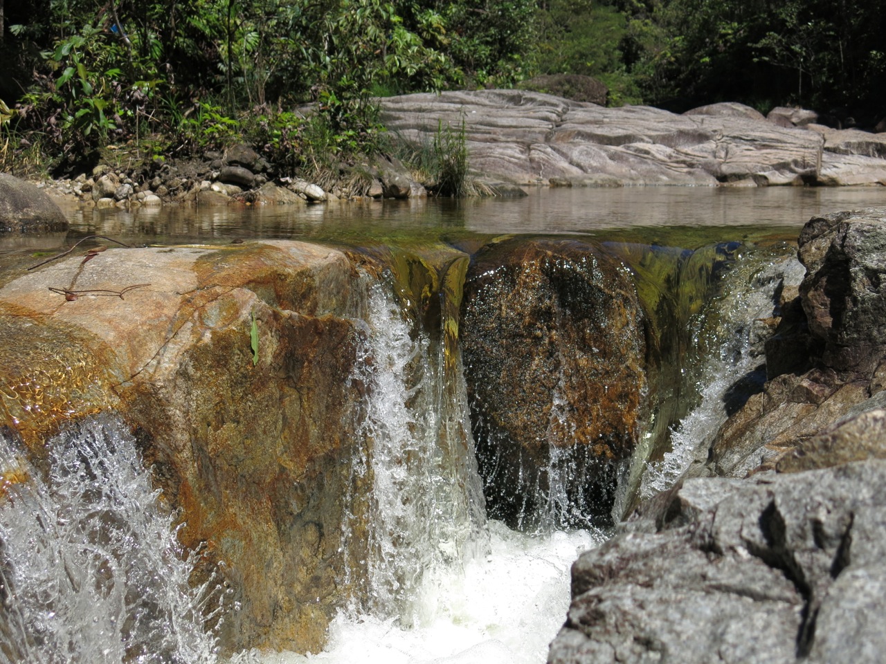
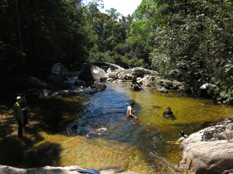
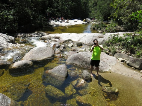
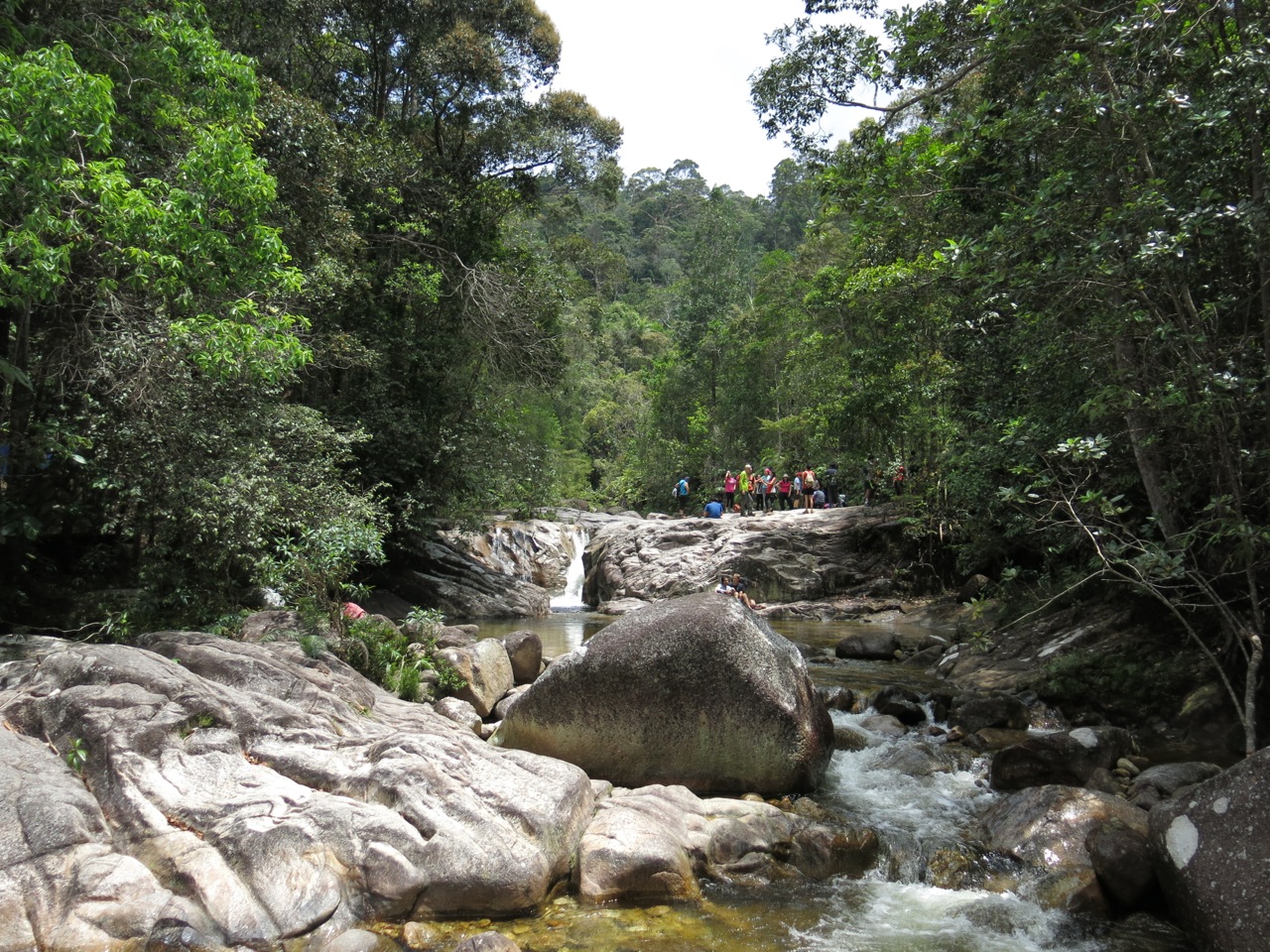
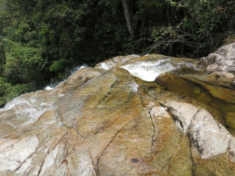
40 minutes later, and 3 hours after we had set off, we reached Lata Naning. The first of 2 campsites used by hikers on their way route to Gunung Rajah (the other being Lata Hijau), Lata Naning it’s incredibly picturesque.
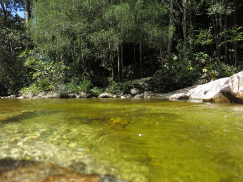
Surrounded by towering trees, with wide smooth rock surfaces, a sandy bottomed river and placid pools that swirl languidly before rushing over yet another outcrop or edge, my photos don’t do the place justice. Sometimes the most beautiful places are the hardest to get to.
We were keen to explore our surroundings and find a secluded spot to cool off in, but first … food! I was so hungry that I didn’t even bother to photograph what I ate, I just chomped through whatever was handed to me.
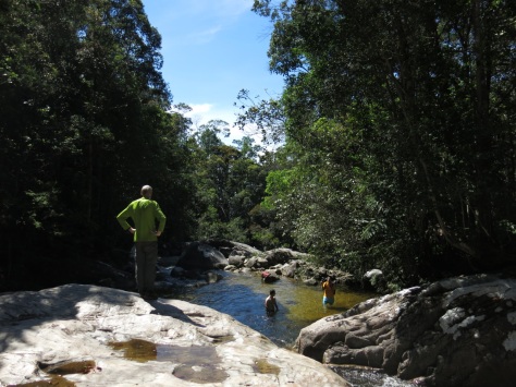
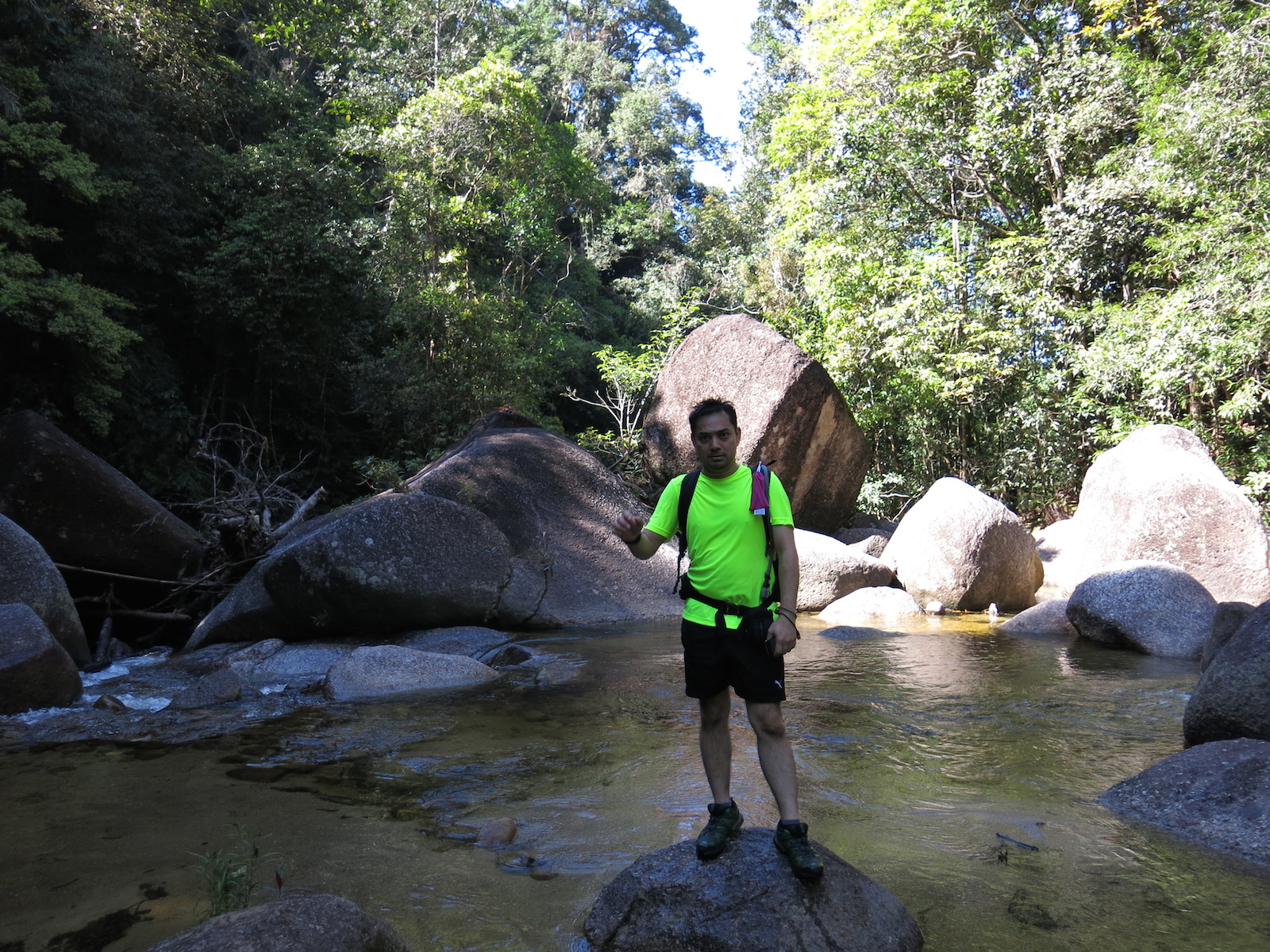
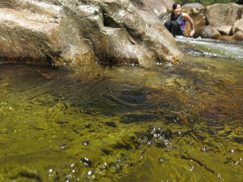
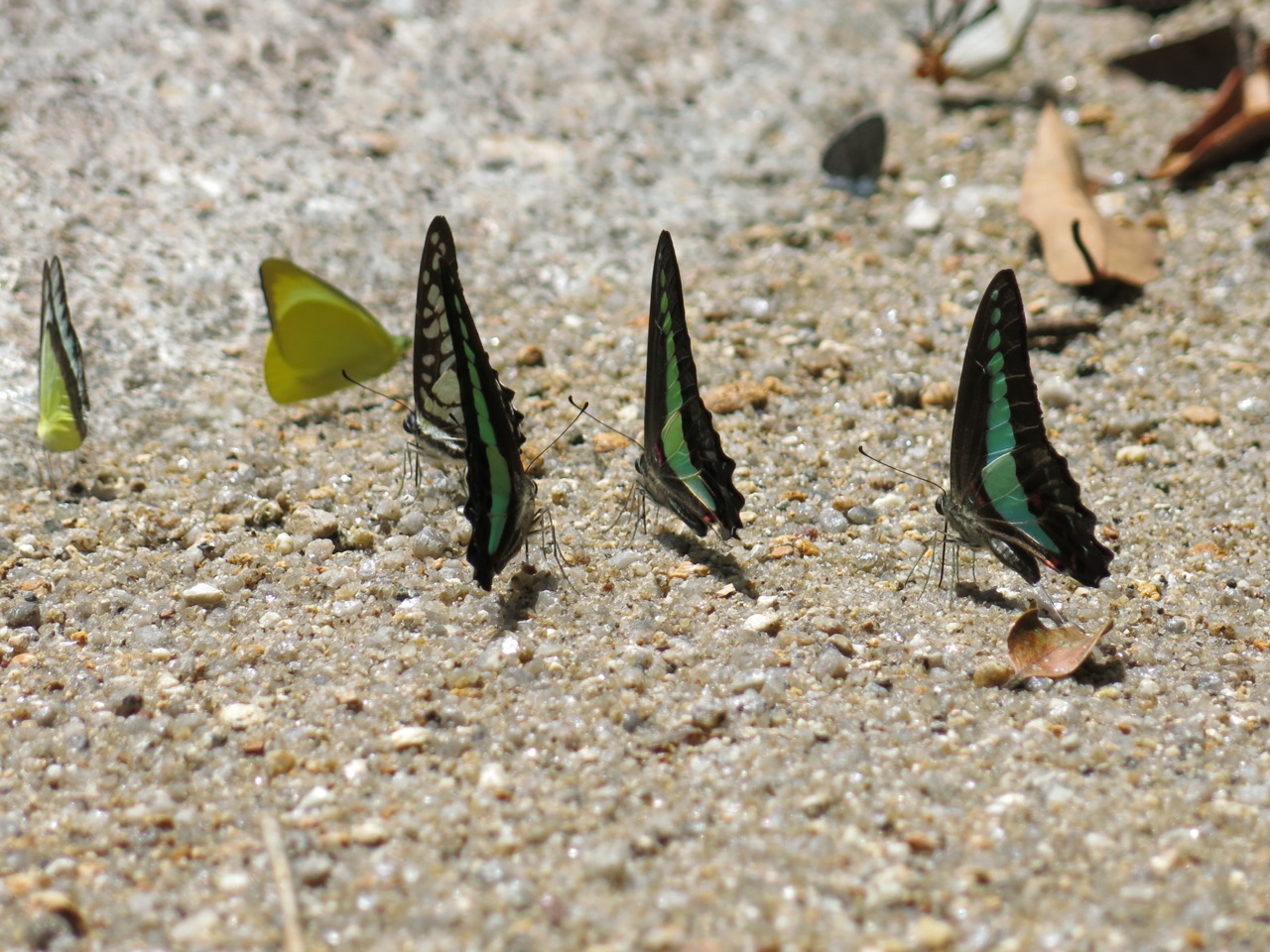
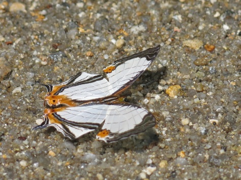
As soon as we were done, Khairul and I headed upstream through the burbling shallows and across the rocks. The water was exhilaratingly chilly. I wished that I had brought my swimming suit. I lowered myself into the waters anyway, and just as quickly I was out. Picking a warm spot to dry off, I sat back to watch dragonflies and butterflies gather on a sand bank.


The sight of grey clouds looming in the distance eventually prompted us to pack up. I didn’t want to get caught in a downpour and risk having to cross a rising Y river. But in our haste to leave we missed out on the obligatory group photo.
By the time we got back to the carpark with fellow KL Hiker Wee it had just gone 3pm; the place was rammed with cars. The soles of my feet were crying out for TLC and I could only marvel at how I ever managed to make it up Gunung Rajah before – its peak is still another 11km away from Lata Naning with an incline you have to rope yourself up, before another scramble up. But that’s another story for another time.
Distance and time 21km; 5 to 6 hours not including time spent at Lata Naning.
Rating Rated as “Very Hard”by KL Hiking but only because of the distance. The trail is mostly flat with gentle inclines and few technical aspects. If you hang in there the rewards are worth it.
Tip In addition to water be sure to pack some energy drinks and snacks to keep you going, and deep heat in case of muscle cramps.
Getting there Take the E8 Karak Highway and exit after the Bentong toll at Bentong West (Exit 808) or Bentong East (Exit 810) . Continue on Route 8 past Bentong’s old town and look out for road signs to Chamang Waterfalls. The turn into Jalan Chamang is on your left and the road ends at Chamang Waterfalls. There are 2 tolls to pass through.

The butterflies pic was awesome! Very “natgeo” 😉
Thanks! Animals are so hard to photograph especially flapping butterflies.
Hi.. Lata Naning looks lovely.
It has been on my bucket list fr a while now😊
Would love to go on a camping trip there.
You know anyone who can guide us?
can yoU guide us? 😉
It is lovely. You’ll have to get permits from the local Forestry office and they will require that you use a local guide, although they can point you in the right direction.
Duly noted. Thank you 🙂